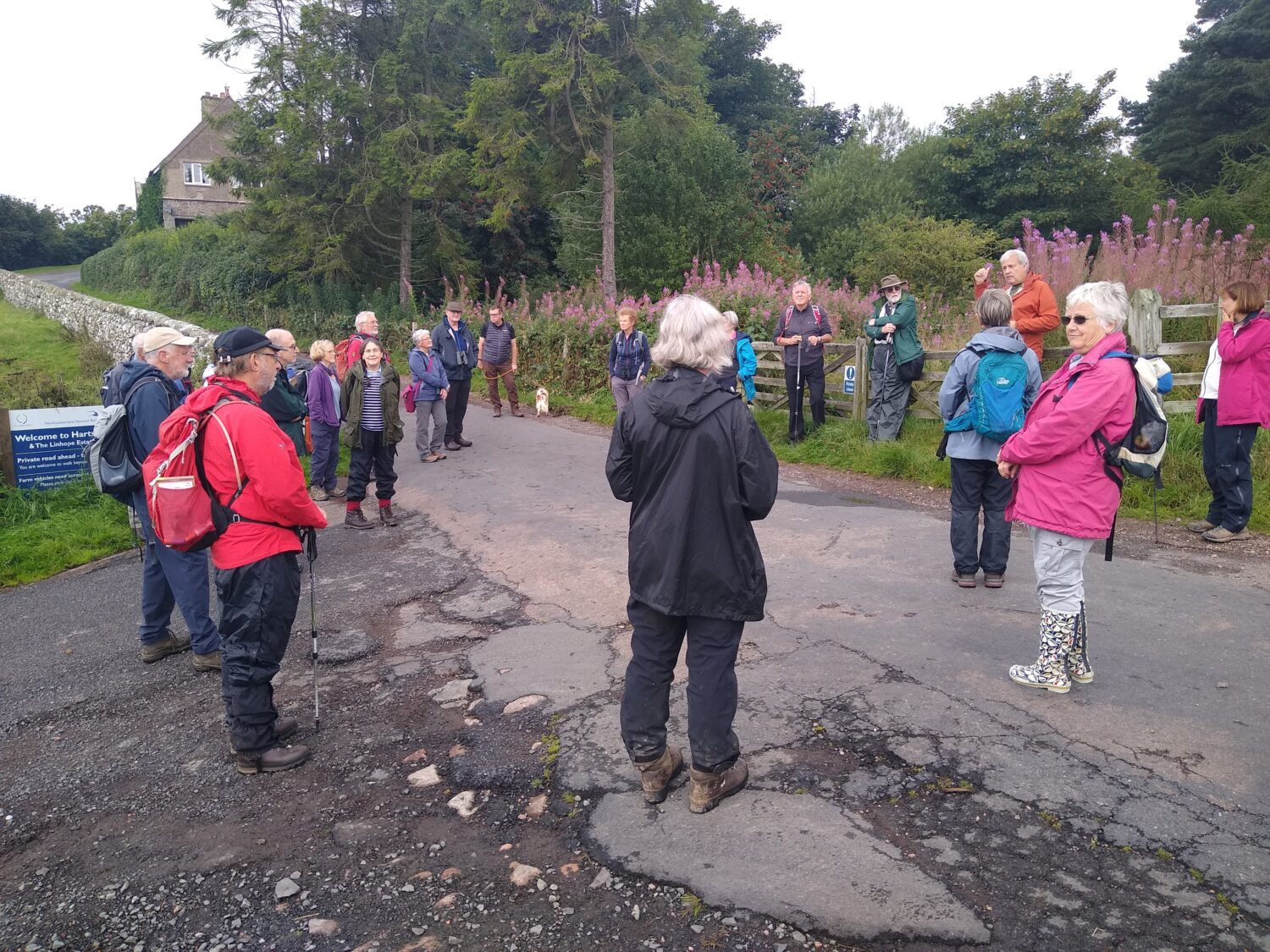
Recently, local naturalists and NHSN’s Earth Sciences Section set out to explore the fascinating geology of Ingram Valley in Northumberland. Take a closer look at what they discovered.
The Ingram Valley is characterised by 2 main rock types; granite, andesite. There are also areas of agglomerate and all are cut by igneous dykes. The geological map of the area tells us that where we parked the cars at Hartside, the road is underlain by andesite but as we headed towards Linhope, this changes to altered andesite as we near the edge of the granite.
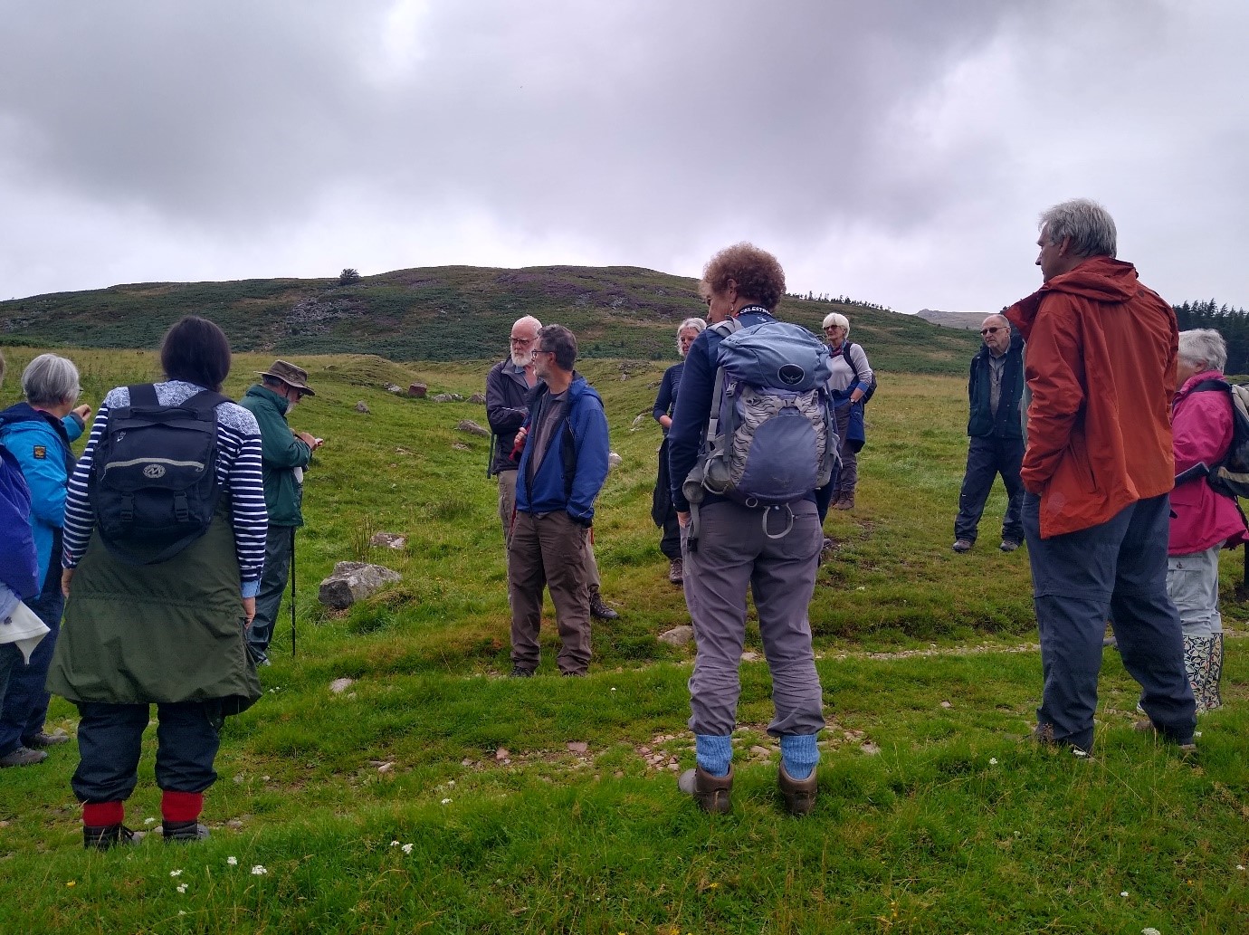
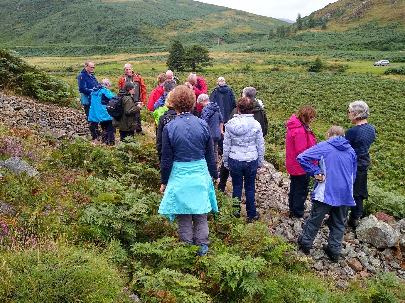
Before reaching Linhope, we looked over the valley and considered the geological history and glacial modifications of the landscape. We then took a footpath heading NE across a field where “Earthwork” is indicated on the OS map. This is Greaves Ash which stands on a spur of land and is apparently of Iron Age date, though occupation probably continued into the Roman period. There are two circular stone-walled enclosures that surround at least sixteen hut circles and are built on altered andesite. To the east is a smaller enclosure that surrounds several hut circles where we investigated granite outcrops.
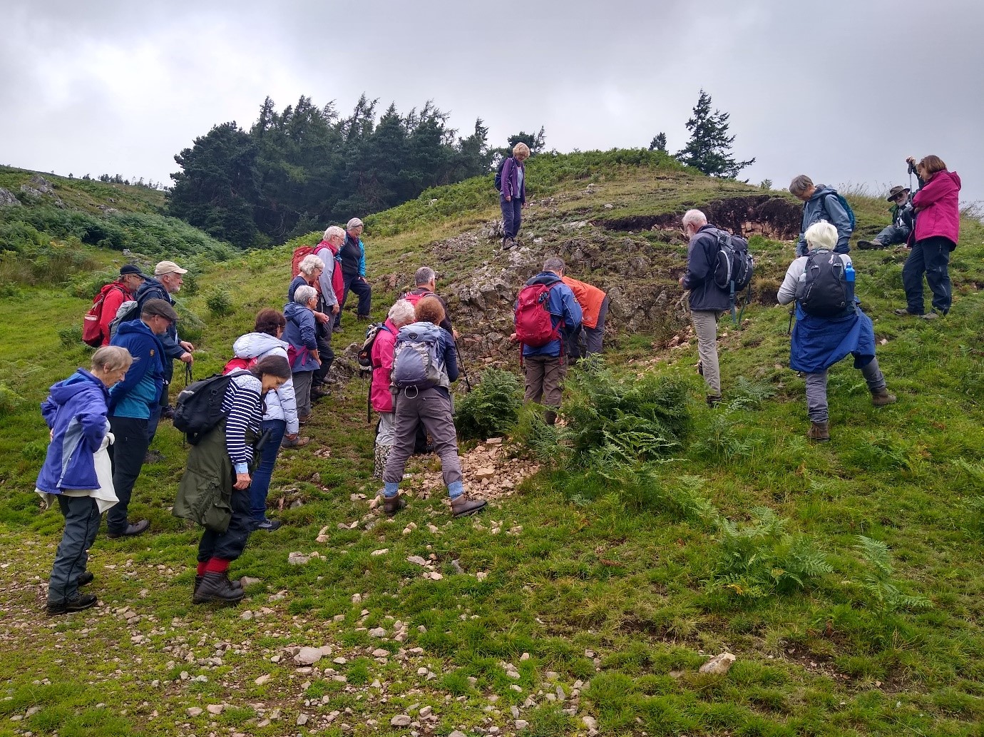
Just north of here the geological map is shaded red for the Cheviot Granite and the bedrock is shown as contact-altered andesite. The numerous linear features are dykes that have intruded both the granite and the andesite. We explored this area during the morning, finding and examining the altered andesite, granite and dykes.
After lunch we looked through some hand specimens that illustrate the range and variability of igneous rocks of the area, followed by exploration of exposures alongside the path below the northern flank of Brough Law. Here we saw examples of grey, unaltered Andesite including amygdaloidal varieties (i.e. andesite with small cavities infilled with secondary minerals such as quartz). There was also evidence of flow banding within the andesite and thin veins of red Jasper, which are quite common.
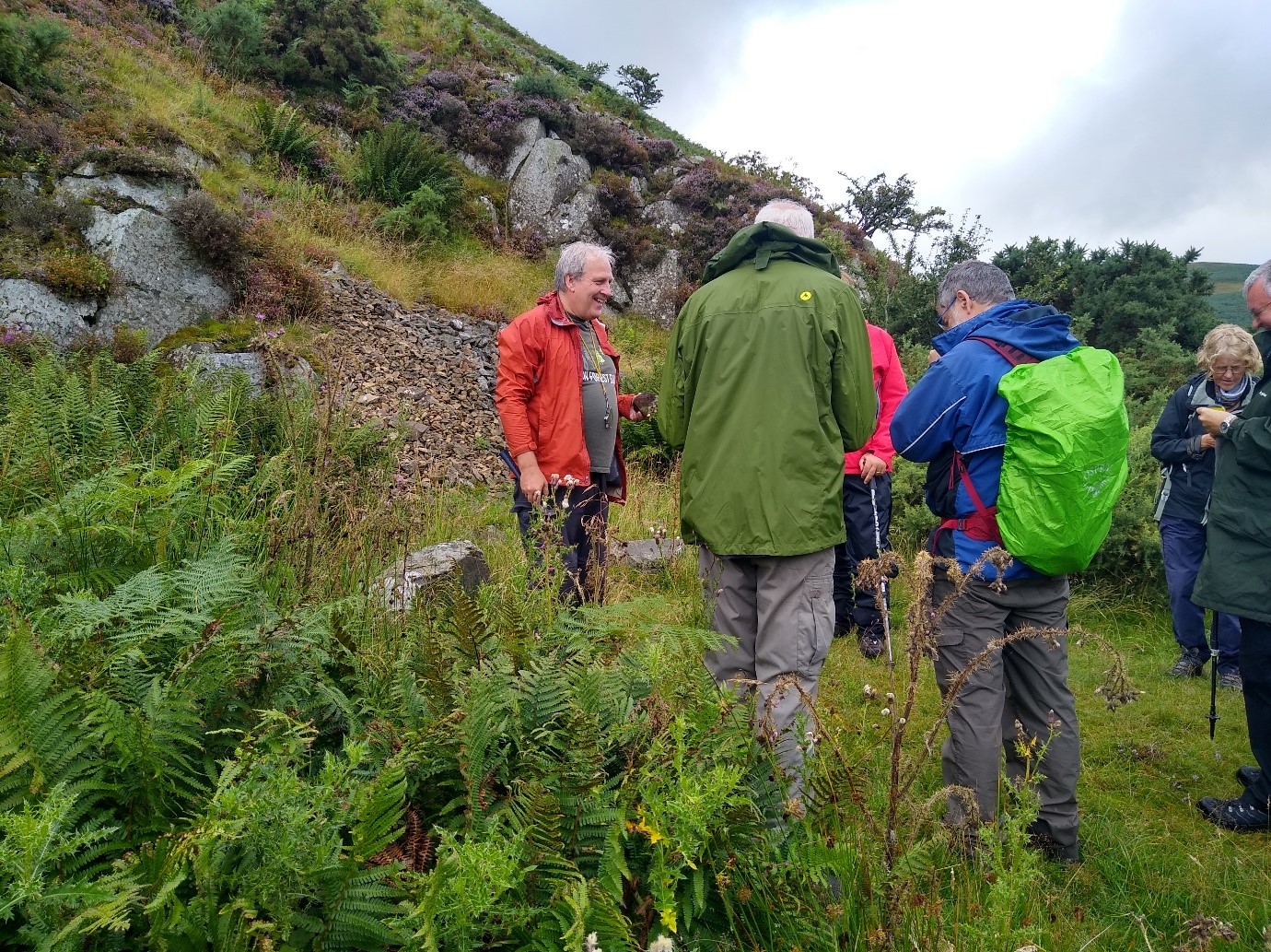
Not all the rock here is andesite. Along the path, we came across some fallen blocks that are reddish and contain dark phenochrysts. These appear to have come from a gully running up the hillside behind us. Turning through 180° it is apparent that this gully lines up with two others running up Knock Hill on the other side of the valley. They mark the position of igneous dykes from the late stages of Cheviot activity and is labelled as a pyroxene porphyry.
The next and final trip of the season is to Holy Island, Saturday 11th September 10:30 am- 3:30 pm. All are welcome and knowledge of geology is not necessary. Notes, similar in pitch to this write up, will be available beforehand to assist understanding of what will be seen during the outing.
Content ©Karl Egeland-Eriksen, 2021
Photos ©Brenda Turnbull, 2021