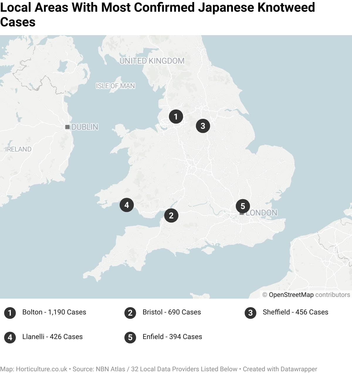
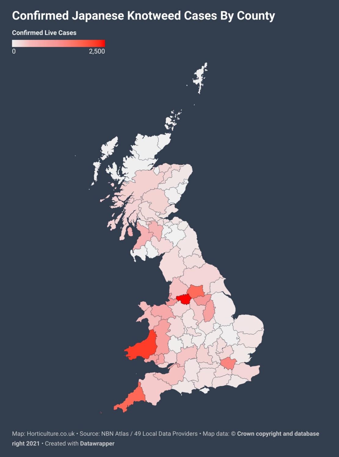
Horticulture Magazine has launched a new study and interactive map helping naturalists understand the spread of Japanese Knotweed in their area.
Horticulture Magazine have launched a new study and interactive map, allowing users to better understand Japanese Knotweed cases in their local area.
As an invasive species, the plant is known to cause structural issues with property, roads, watercourses and more. It is also known to displace native vegetation, crowding out other plants with its aggressive growth and spread.
The map harnesses data from 49 environmental authorities in the UK, with more than 29,500 live cases shown. Users can search by postcode to see cases pinpointed on a map to within 1km.
The map also offers guidelines for identifying and recording cases of knotweed. Unfortunately, record-taking has fallen significantly since the outbreak of the Covid-19 pandemic.
Record-taking is vitally important as it allows for better planning and management of invasive species such as Knotweed.
Please see their interactive Japanese Knotweed map for more information on how to identify and record cases in your area.

