Recently, NHSN members set out to explore the rich and varied geology of Cow Green in Upper Teesdale. Take a closer look at what they discovered.
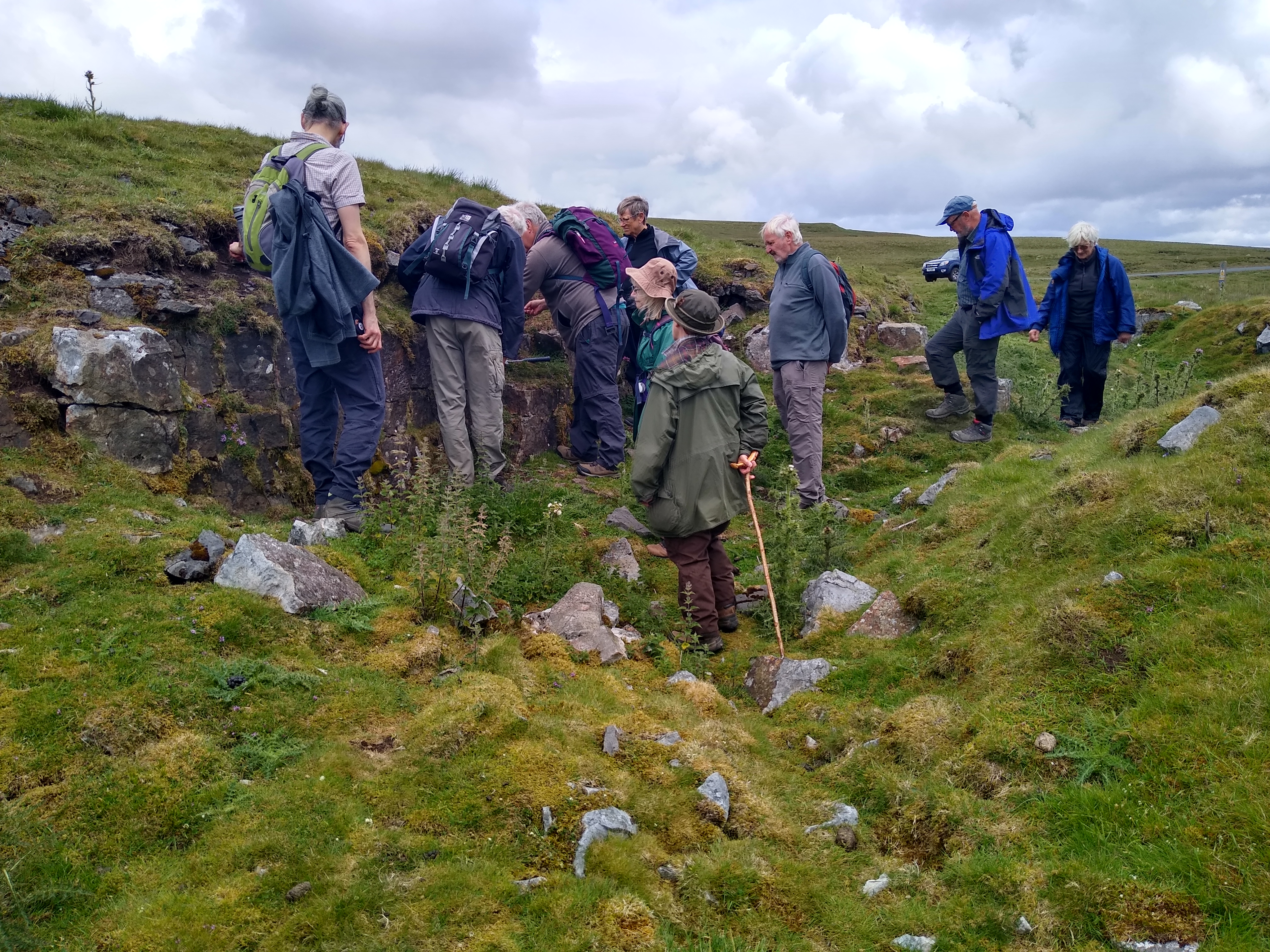
West Cowgreen Mines consist of two main veins, the Winter Hush Vein and the Green Hush Vein, running N-S and NE-SW respectively, and a number of smaller veins including the Angle Vein. These veins are in faults which are offshoots to the south of the major Teesdale Fault (NW-SE). They were worked in the late 18 and early 19 centuries, primarily for lead ore (galena) which tended to occupy the centre of the vein, surrounded by barytes. Evidence for this early working can be seen in the form of hushes, dams and old shafts, prominent in the landscape.
The Winter Hush Vein consists of a series of lenses of predominantly barytes, with galena more abundant in the narrower sections. The lenses are around 100m long and 3m wide on average with the intermediate sections of the vein about 1.2m wide. A bore 80m deep was sunk through the vein towards its southern end that penetrated the Whin Sill, the vein within the Sill consisting entirely of witherite (BaCO?). The fault dowthrows to the east by up to 30m but varies along its length with hardly any displacement in some places.
After lunch, we headed for a shallow quarry. The grey rock exposed here is the Smiddy Limestone. It is quite fossiliferous with numerous fragments of crinoids and small brachiopods. The slightly raised mound away from the road is a bioherm, formed by corals around 330 Ma.
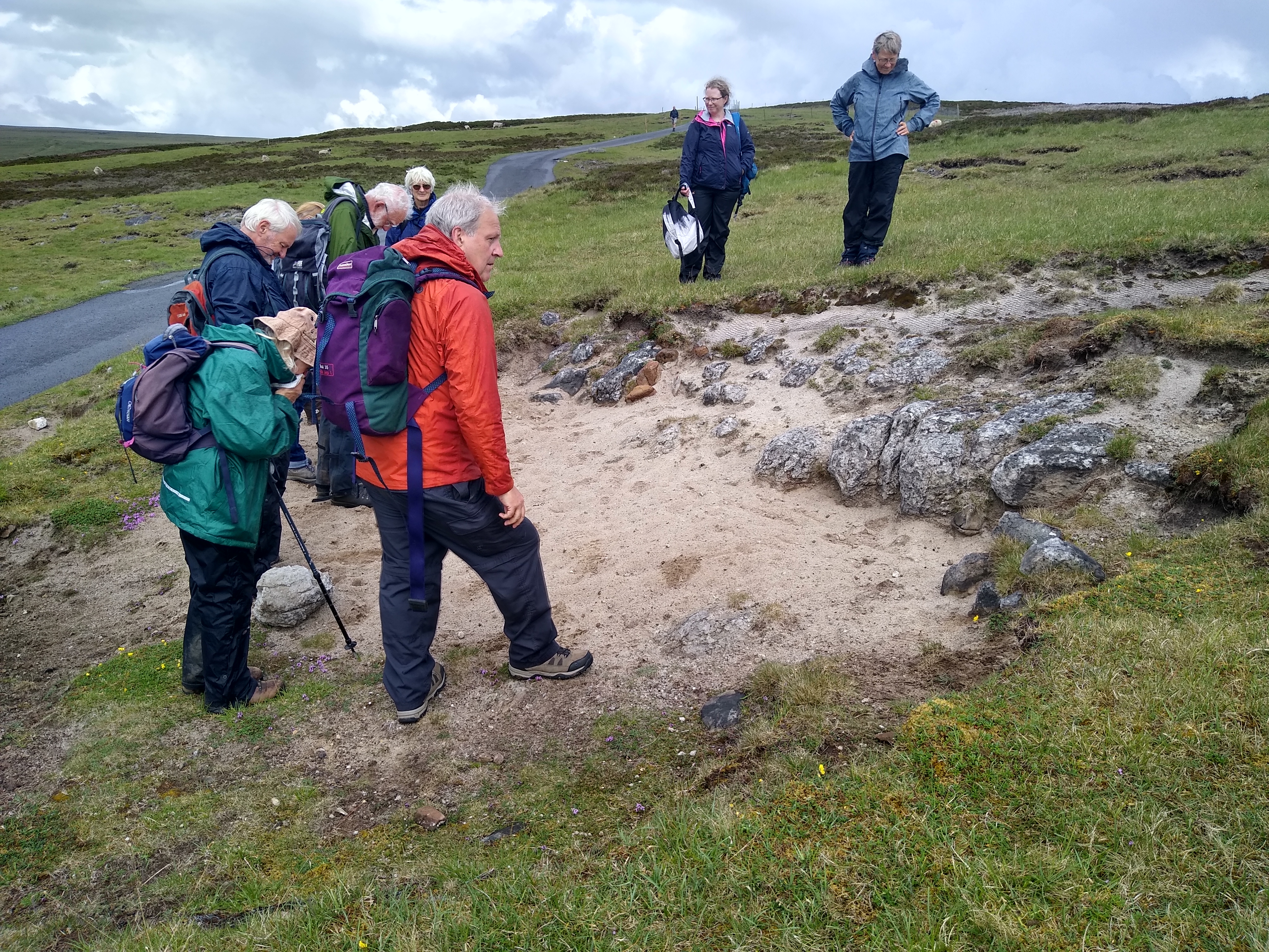
We then continued along the North Pennines AONB Geo Trail to Rod’s Vein where the old spoil heaps contain fragments of the barytes that was mined here, and there are also traces of galena. The vein was worked opencast in the Melmerby Scar Limestone where the main vein was 1.1-1.8m wide. The adjacent shaft, sunk in 1949 entered the Whin Sill at 20m depth where the vein became narrower.
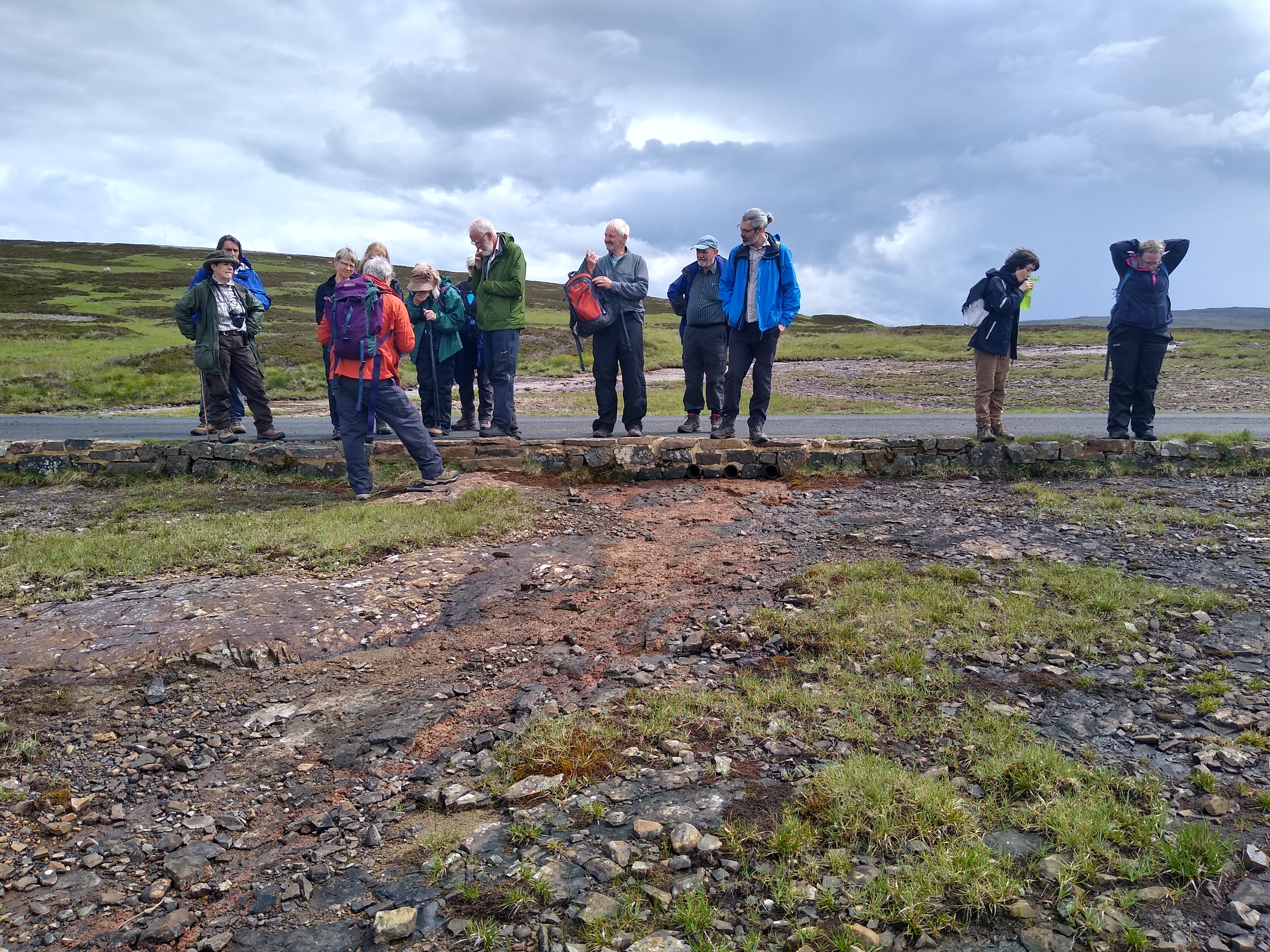
Further down the track the outcrops of rock, most noticeable to the left of the road, are of the Melmerby Scar Limestone. These rocks are white and crystalline and show a distinctive crumbly weathering, earning them the local name ‘sugar limestone’. Despite its name, it is a type of marble, having been altered and recrystallised by intense heat.
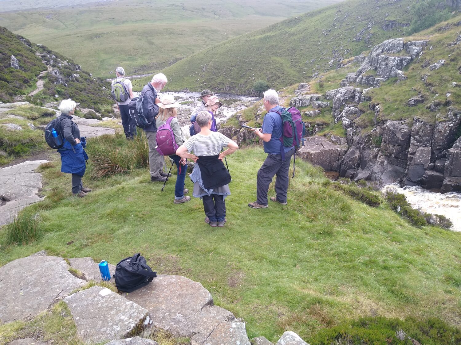
The rusty brown rocks in the stream at Red Sike are part of the Whin Sill. Here in Upper Teesdale, this layer is almost 75 metres thick. The molten rock that cooled to become the dolerite of the Whin Sill baked the surrounding rocks, creating the sugar limestone we saw earlier.
The final stop of the day was the waterfall at Cauldron Snout (England’s longest at 120m) which is formed as the River Tees flows across a very hard outcrop of the Whin Sill dolerite. We noticed the vertical cracks in the rock, which are known as columnar joints which are formed as the magma contracts during the final stages of cooling.
The next trip is to Seahouses on Saturday 31 July. All are welcome and knowledge of geology is not necessary. Notes, similar in pitch to this write up, will be available beforehand to assist understanding of what will be seen during the outing.