Recently, local naturalists and NHSN’s Earth Sciences Specialist Group set out to explore the geology of Haltwhistle. See what they discovered.
On this first trip of the year, we saw evidence of all three factors that combine to create the striking landforms of the Haltwhistle Burn area. Many attendees had visited the area previously and we were really pleased to show them a new ‘slant’ on the area as these are rocks that dip 15° to the south! The dip of the rocks is the product of post-Carboniferous tectonic activity. The overall result is a strong dip and scarp topography, familiar to anyone who knows ‘Hadrian’s Wall country’.
The sediments we saw are from typical Yoredale cycles, repeated sequences of limestone, shale, sandstone, seatearth and coal which produces an alternation of hard and softbeds with very different weathering characteristics. The Whin Sill was intruded into this succession. It varies in thickness, frequently transgressing from one horizon to another, but is very durable and resistant to weathering in comparison to the enclosing sediments. We started by looking at an exposure of the Whin Sill, including the gas bubbles (vesicles) some of which were filled with calcite (amygdales).
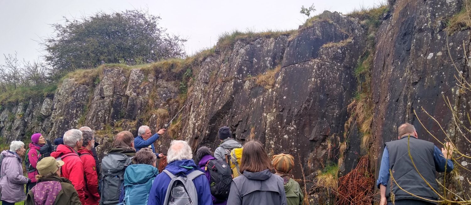
The third factor shaping the land here, and which possibly enhanced the dip-scarp topography, is ice. It shaped the landscape as it moved from west to east, parallel to the strike of the beds, which is at right angles to the direction of dip. Movement of the ice across the strike flattened out the topography by filling in depressions in bands of shale with glacial debris. Till can reach up to 80 m deep.
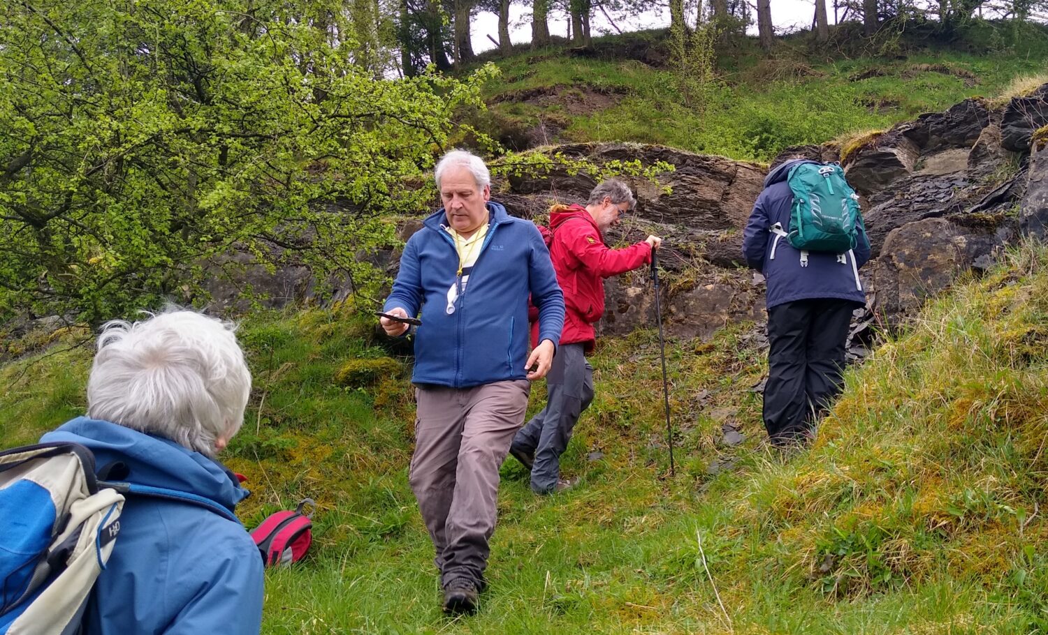
Descending into the valley, we stopped at an exposure of the upper part of the Great Limestone. It’s about 4 m thick and in well-defined posts with clay partings. At the top are the Tumbler Beds, calcareous shale with thin bands of limestone, so called because they often show small scale folding. In the shale, we saw fragments of small brachiopods and crinoid ossicles.
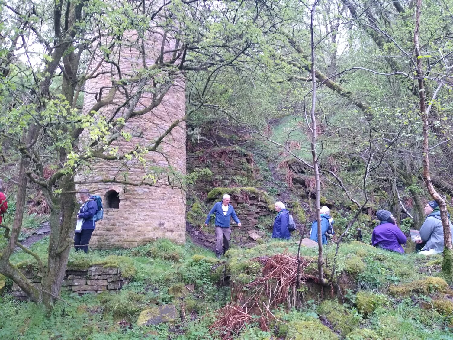
Downstream, we saw lime kilns on both banks which were used to produce agricultural lime and mortar from the Great and Four Fathom Limestones. This is an area rich in industrial heritage including mining of ironstone which was probably smelted at Haltwhistle. Coal was mined from three separate seams and fireclay was used to make bricks, pots and pipes. Quarrying of sandstone for building, ganister for firebricks used in furnace linings and the working of galena for lead and silver.
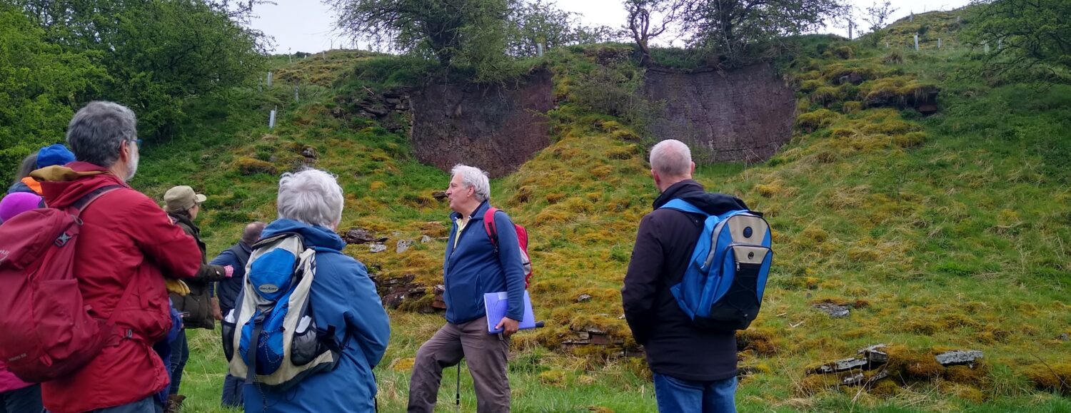
Above the limestone, outcrops of finely bedded sandstone with ripples were visible in some beds and cross-bedding in others. The sediments were streaked with thin, carbonaceous layers and heavily stained with iron, which forms hard layers on the vertical faces along some joint planes. Some unusual features in one particular bed were identified as animal escape structures.

Our lunch stop was by the remains of the colliery which worked the Little Limestone Coal; the chimney and engine block are still standing. Fragments of the coal can be found and the overlying Little Limestone, rich in bryozoa, is exposed in the hillside behind the chimney.
After lunch we started up the bank away from the river to see an outcrop of the Little Limestone before continuing to an open area with a wonderful view of an impressive channel structure in a sandstone cliff. The rocks bowed down into what looked like a cross-section of a channel, but this is in fact a longitudinal view, created by a large river in spate. On closer investigation, trunks and logs of Carboniferous trees can be seen embedded in the rocks, washed down by an ancient flood.
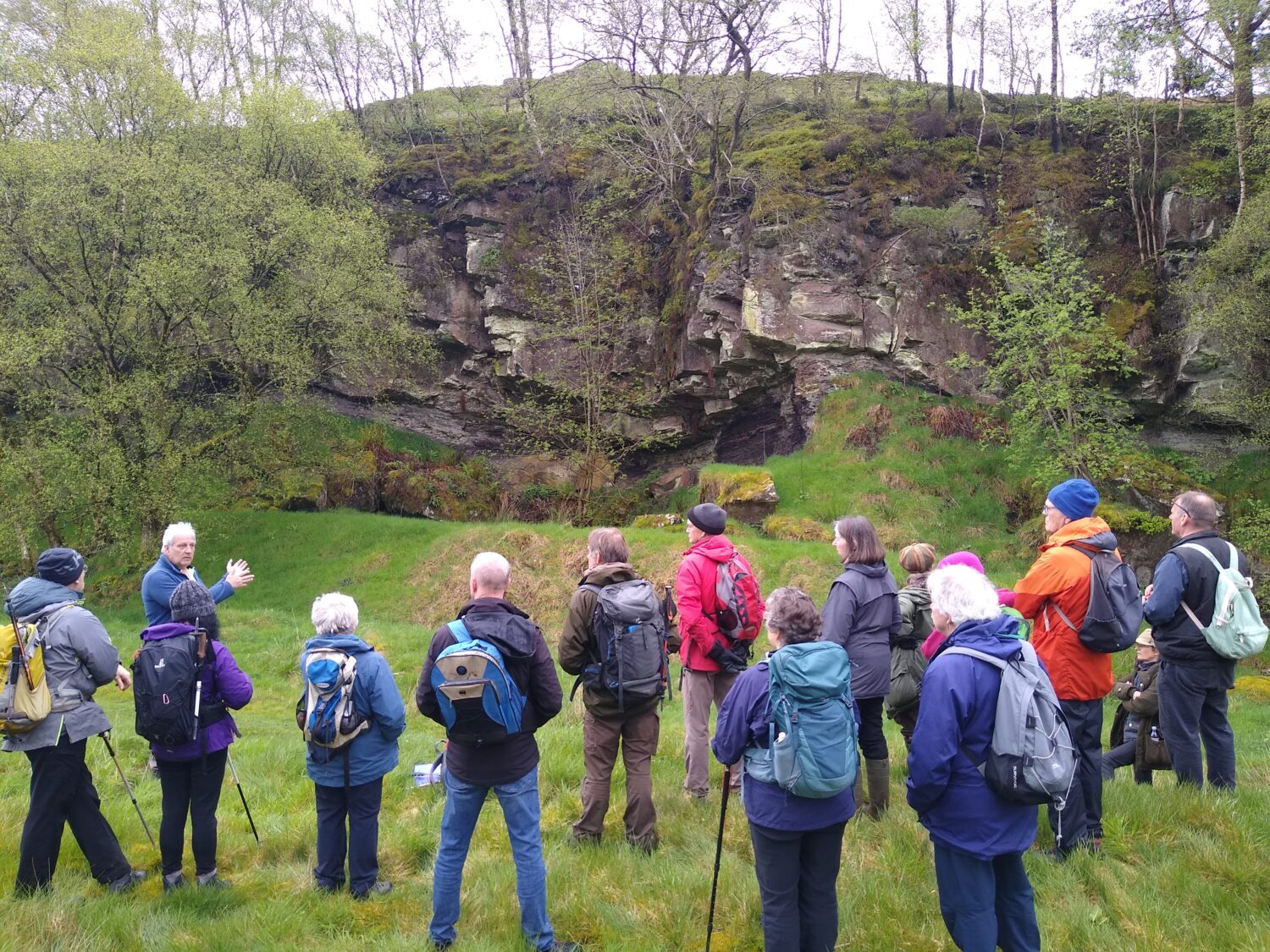
Some distance downstream a short scramble took us up to a sandstone quarry. Here, part of the exposure gives a 3D view of a bed which enabled us to identify tabular cross-stratification. This indicates a northerly current direction in a braided river system.
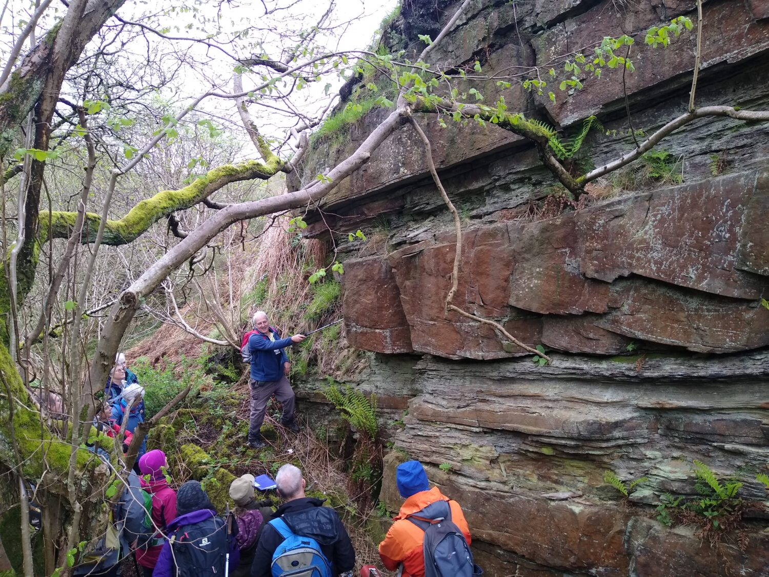
In Leeshall Quarry, on the west bank, two sandstones are separated by a 25 cm coal, underlain by seatearth 2 m thick. The sequence reflects the build-up of the Carboniferous delta top to water level allowing the growth of plants and the formation of peat. We found fresh-water brachiopod fossils in the sandstone. In one corner of the quarry is a small ‘adit’ although this didn’t seem to extend far into the cliff.
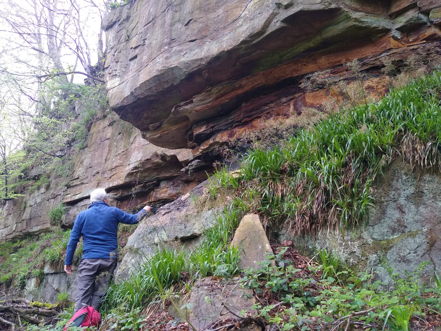
This was our final stop of the day during which we had covered all the elements of a cyclothem, albeit across three different cycles.
Words by Karl Egeland-Eriksen and Brenda Turnbull, inspired by Northumbrian Rocks and Landscapes
Pictures by Brenda Turnbull
The next trip is to the Upper Coquet Valley in the Cheviots on Saturday 15th June and monthly until October. No knowledge of geology is necessary and trip notes, similar in pitch to this write up will be provided before the event. All are welcome, but please turn up if you book 🙂 We keep numbers around 20 people for safety and so everyone can hear explanations plus Q&A, but are happy to run a repeat trip if there’s a demand for a particular area, so do let Karl and Brenda know via James.Common@newcastle.ac.uk