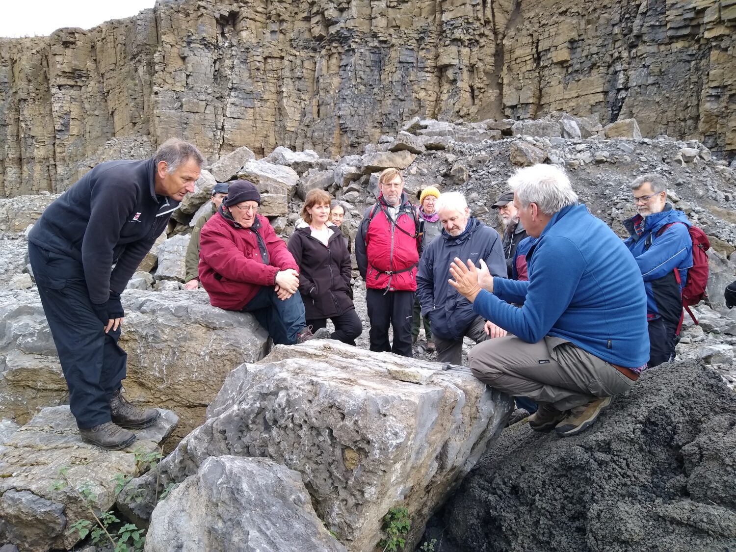
Recently, local naturalists and NHSN’s Earth Sciences Section set out to explore the Great Limestone in Weardale. Take a closer look at what they discovered.
While this trip continued the summer’s theme of limestones, it also considered the mineralisation and former industrial importance of this UNESCO Geopark.
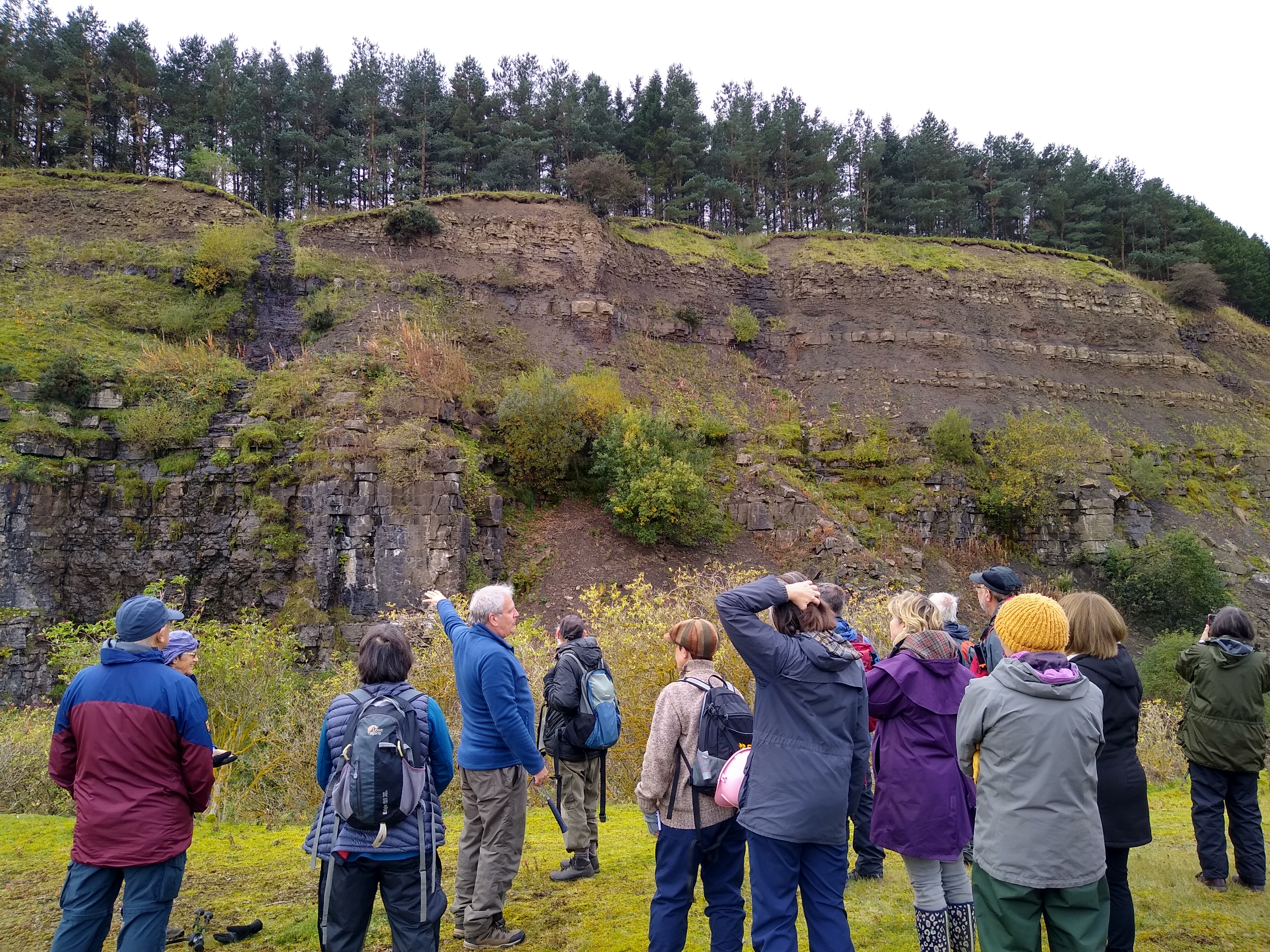
Unusually, we started on private land at Dryburn Quarry where our host and landowner took us up the hillside from Woodcroft Farm to the remains of Woodcroft Hall, the ancestral home of the Blackett family.
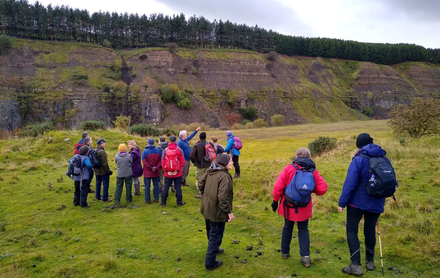
The south face of the quarry exposes an almost complete section through the Great Limestone and the overlying beds. The limestone is over 80 ft thick. The Main Block consists of 18 beds, given separate names by the quarrymen. One about 20 ft above the bottom is full of the solitary coral Dibunophyllum bipartitum, used for ornamental purposes and known as the ‘Frosterley Marble’.
The overlying beds were stripped away by a steam-navvy and include sandstone and shale beds with some thin coals. Two of the sandstone beds are 4 ft thick each. Above is a thick cover of Glacial Drift, striations in the formerly exposed upper surface of the limestone indicating the ice moved in a south-easterly direction.
The central area of the quarry has been partly infilled with spoil. The debris does not, however, come from the quarry itself, but from the tunnelling carried out in the 1970s as part of the Kielder transfer scheme. Tunnels were cut linking the Tyne to the Wear and the Wear to the Tees to provide water to those rivers, in times of need, from Kielder Reservoir.
The effects of a NE-SW trending fault downthrowing to the southeast can be seen in the intensive jointing at the outcrop at the eastern end of the quarry. As with many such faults in Weardale, this is mineralised. Here the Hollywell Vein contained galena, iron and fluorite and was worked though shafts above this corner of the quarry.
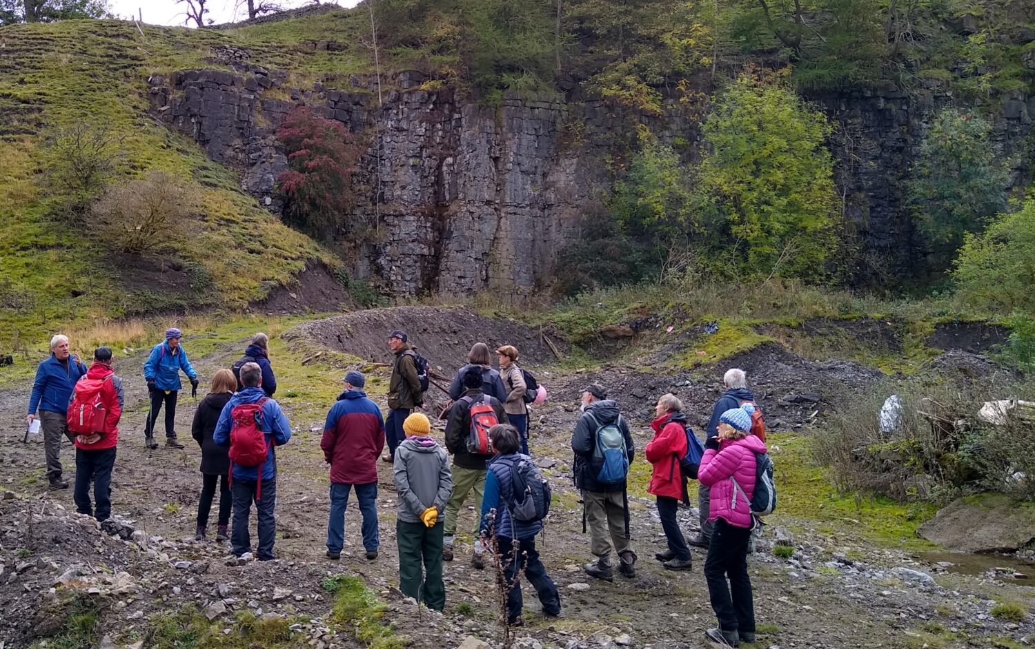
After lunch, we headed to the Fine Burn Quarry & Markiel Vein, which was cut through by the Kielder tunnel. The mineral veins here were the most important group in the Bollihope valley and were worked by the London Lead Co. The mines operated until 1914, extracting limonite, quartz, purple fluorite, galena and sphalerite. Malachite was found in the Copper Vein and can still be found on the heaps.
The limestone is sparsely fossiliferous with bands of Gigantoproductus and Dibunophyllum present. A pair of late C19 limekilns (Grade II listed) can be seen towards the eastern end.
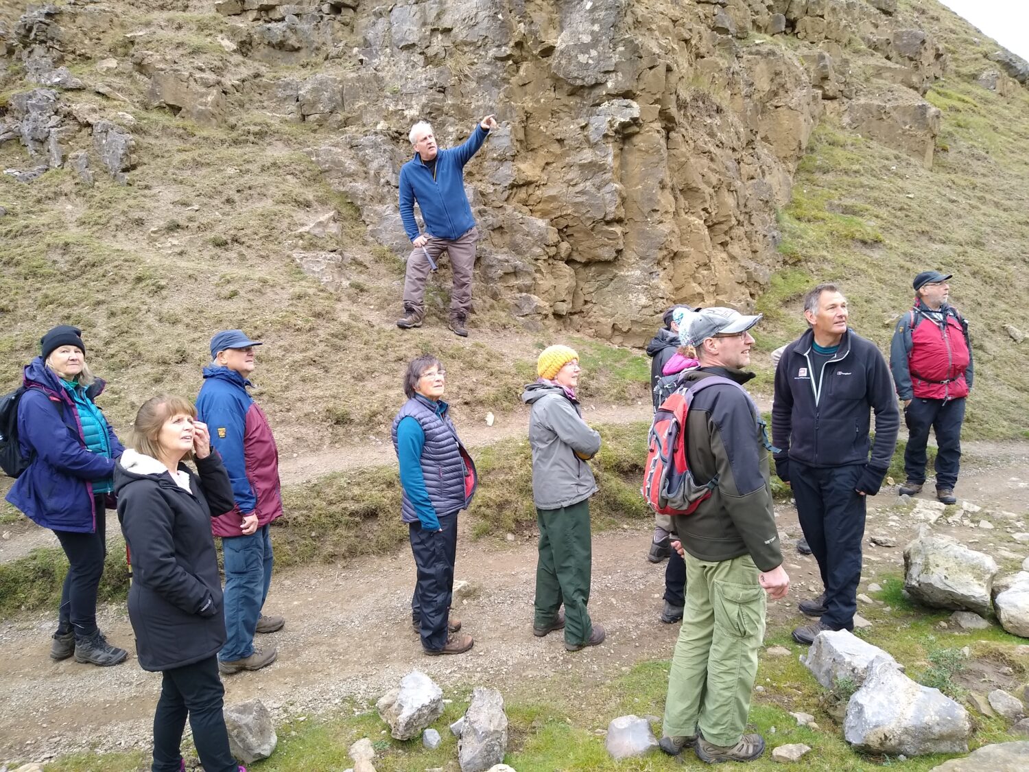
Our final stop was the Harnisha Burn Mine and Quarry to the east of the Bollihope Burn. The main mine was started before 1791 and was owned by William Blackett who then sold it to Thomas Wentworth Blackett, along with four other mines, for a total of £640! Known then by the name of Bollihope Shield Lead Mine, it was later to be re-named during the 1970’s workings to Harnisha Burn Mine. Then, like several other old lead mines in this area, it was reworked for fluorspar for the steel industry. The face of the quarry is intensely jointed, again an indication of the proximity of the mineral-bearing fault. Fossils can be seen in some of the large blocks towards the south end of the quarry.
This was the last trip of the year and we’d like to thank everyone who has come along and been so enthusiastic about our local geology. It’s been great to meet you and a pleasure to show you some of the North East’s very special geological sites.
We hope to return to field trips from March 2022.
Pictures by Brenda Turnbull