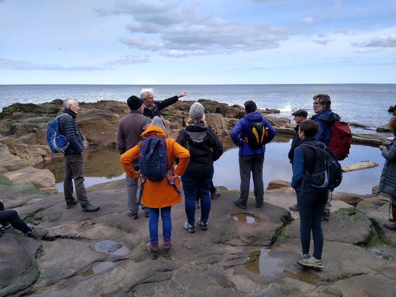
Recently, local naturalists and NHSN’s Earth Sciences Specialist Group set out to explore the geology of Tynemouth and Cullercoats. Take a look at what they discovered.
Tynemouth
Geologically the headland of Priory Point, including Black Middens, is the southernmost coastal exposure of Carboniferous beds in the North East. A series of E-W trending faults beneath the River Tyne downthrow beds to the south bringing Permian rocks down to shore level south of the Tyne from Trow Point to Hartlepool. North of the river the coastal exposures from Tynemouth to Amble are predominantly of Carboniferous Coal Measures, Westphalian B strata.
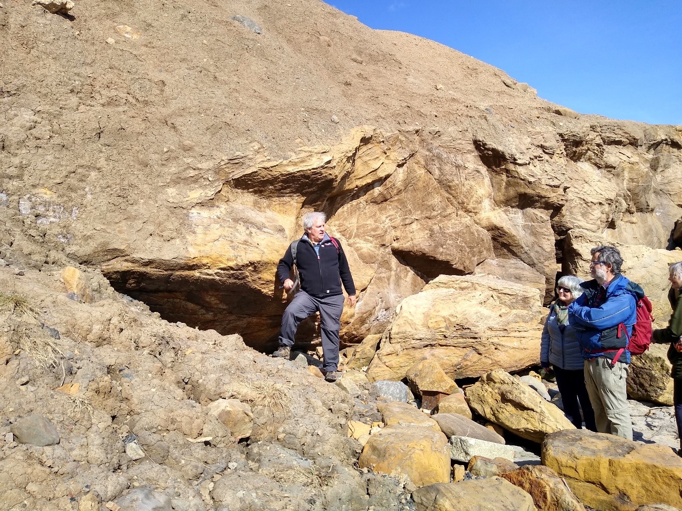
The rock platform and lower part of the cliff north of Tynemouth pier are composed of coarse, buff-coloured sandstone (Priory Sandstone) of the Carboniferous Coal Measures. Much of it contains dark red mottling caused by desert weathering in the early Permian. In places, the sandstone is divided by a scoured erosion surface.
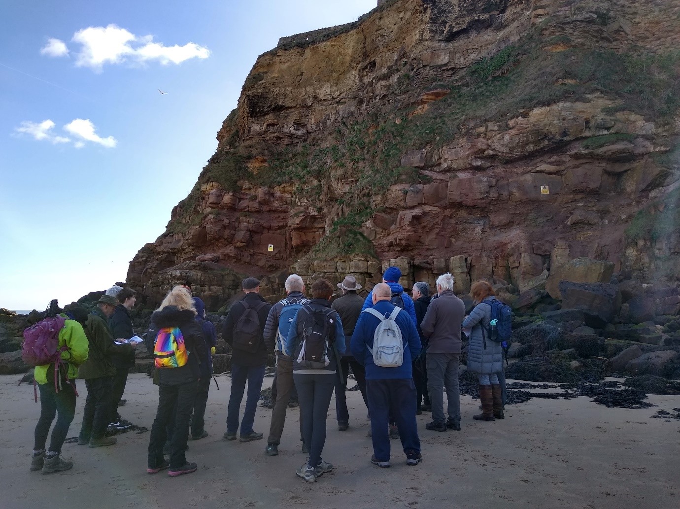
Penbal Crag beneath Tynemouth Priory
The shore platform is cut by the 3-4m wide subvertical basaltic Tynemouth Dyke just north of the pier. The dyke is part of the Palaeogene Mull Dyke Swarm (58Ma). It is also exposed alongside the path immediately before the pier. The 10cm chilled margins of the dyke are clearly visible due to the discolouration caused by the alteration of the augite (pyroxene).
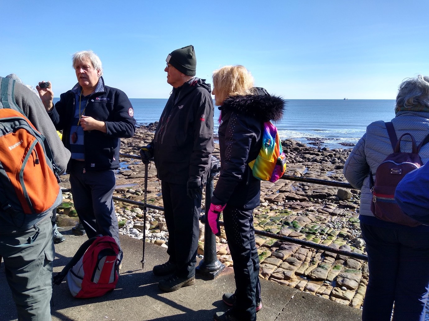
Tynemouth Dyke cutting the wave cut platform just north of Tynemouth pier
Unconformably overlying the Carboniferous Sandstone of Penbal Crag are around 9m of cross-bedded Yellow Sands of the Permian. These late Permian draa dunes are preserved beneath the thin Marl Slate that marks the incursion of the Zechstein Sea, in turn, overlain by the bedded Magnesian Limestone of the Raisby Formation. The recorded section also indicates the presence of the Hartlepool Anhydrite Residue and Concretionary Limestone above the Raisby Formation.
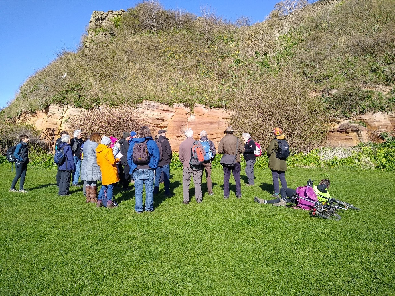
Permian Yellow Sands
There is little, if any Devensian till overlying the bedrock on the headland. Boulders covering the foreshore consist of fallen blocks and ship’s ballast but also include Scandinavian schist and gneiss thought to have been brought by ice during the Pleistocene. The instability of the cliff is currently being monitored by the BGS using LiDAR available to watch on YouTube https://www.youtube.com/watch?v=VZgfZbVLB7U
Cullercoats
The natural harbour at Cullercoats occurs as a consequence of the change in the geology from that surrounding Tynemouth Long Sands to the south. Due to the gentle dip of the beds to the south, Carboniferous rocks exposed on the shore south of the point at the southern end of Cullercoats Bay are lower in the sequence than those seen at Tynemouth. Here shales associated with the Hutton Coal Seam are exposed in the cliff. The seatearth beneath the shales contains numerous rootlets and Stigmaria.
Stigmaria in the seatearth
The rocks exposed in the south facing cliff at the point are the dune-bedded Permian Yellow Sands. These are brought into contact with the Carboniferous beds by the Ninety Fathom Fault. This downthrows beds to the north by about 150m and is part of the major E-W trending fault system that marks the southern margin of the Northumberland Basin half-graben. The fault plane dips about 35° to the north.
The 90 Fathom Fault and Permian Yellow Sands
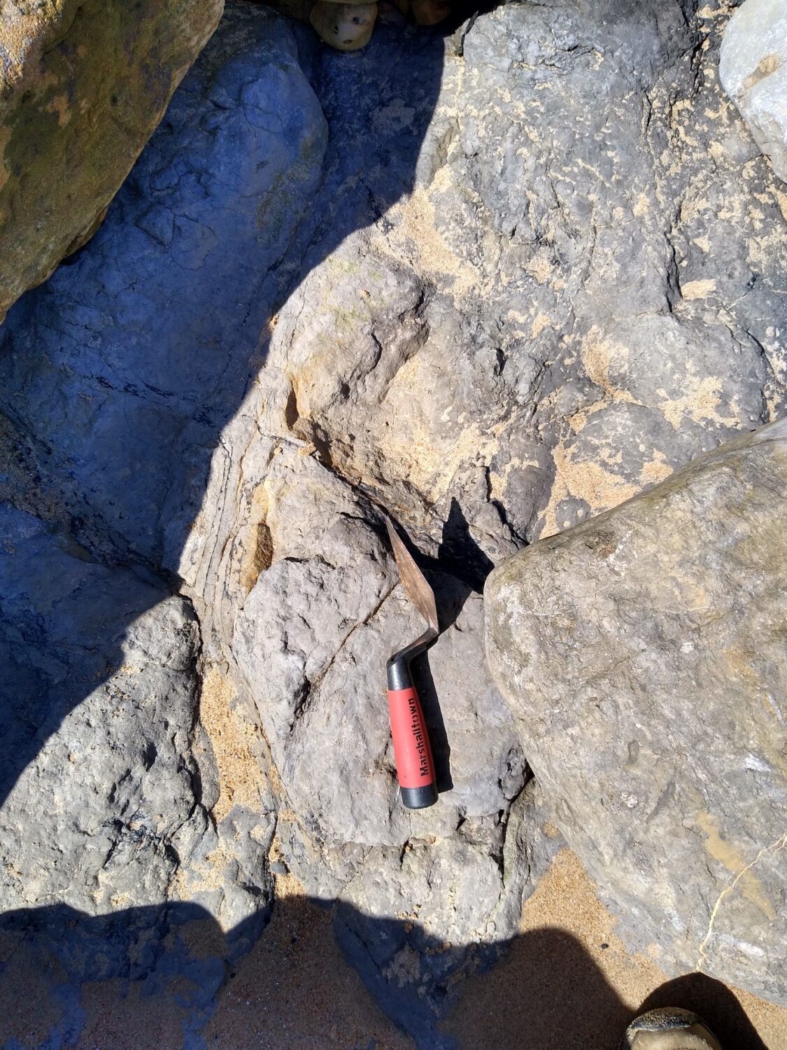
The fault is located at the foot of the cliff where fault gouge is present. The Yellow Sands are composed of medium to coarse grained, well rounded and well sorted grains. Normally they are poorly cemented by calcite but close to the fault the cement is baryte, derived from fluids moving along the fault plane. The Yellow Sands are cut by numerous mineralized fractures, joints and cataclastic veinlets of granular quartz, particularly close to the fault. There are also many calcite-rich nodules.

Baryte mineral veins stand proud of the sandstone
North of the Ninety Fathom Fault a syncline plunges seawards. To the north of the point is Smuggler’s Cave, actually a rock arch, whilst at the back of the bay 30m of Yellow Sands are exposed incised by the Fairy Caves. Overlying the Yellow Sands either side of the south pier is the 1.5m thick, laminated, dolomitic, bituminous shale of the Marl Slate. The Marl Slate is particularly rich in fish fossils and this locality was particularly noted for them.
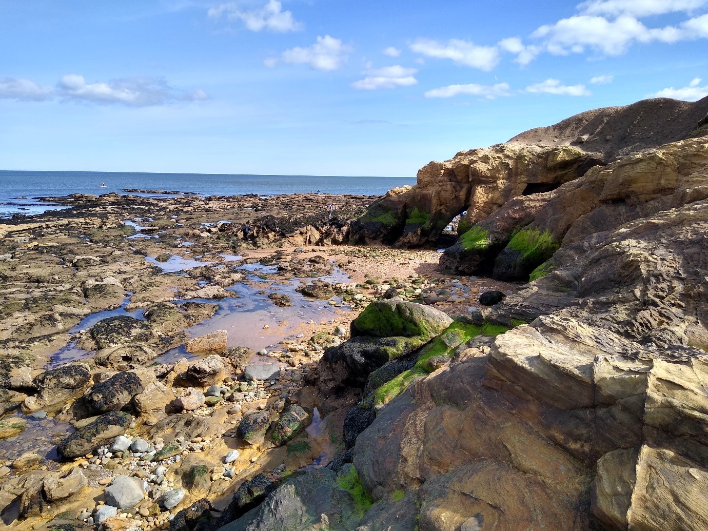
Arches at Smuggler’s Cave
Table Rocks
During the 19th century, Cullercoats and Whitley Bay became increasingly popular as seaside resorts. Sea swimming resulted in a number of fatalities and the need for safe bathing areas was apparent. A natural pool some 20 x 11 feet existed in the rocks known as Table Rocks at the south end of Whitley Bay.
The natural pool at Table Rocks
The pool is cut into the Table Rocks Sandstone. The massive sandstone, current-bedded from the south, is about 16m thick here at its type locality and is the most extensively exposed of the Westphalian B sandstones. It lies between the Durham Low Main and Bensham Coal Seams. The well-bedded flaggy sandstone contains low angle, lenticular cross-beds representing the main axial part of a delta mouth bar. Massive erosively based sandstones with large ironstone concretions up to 2m diameter are found at the northern and southern ends of the outcrop. All the sand bodies are lenticular in shape on a variety of scales.
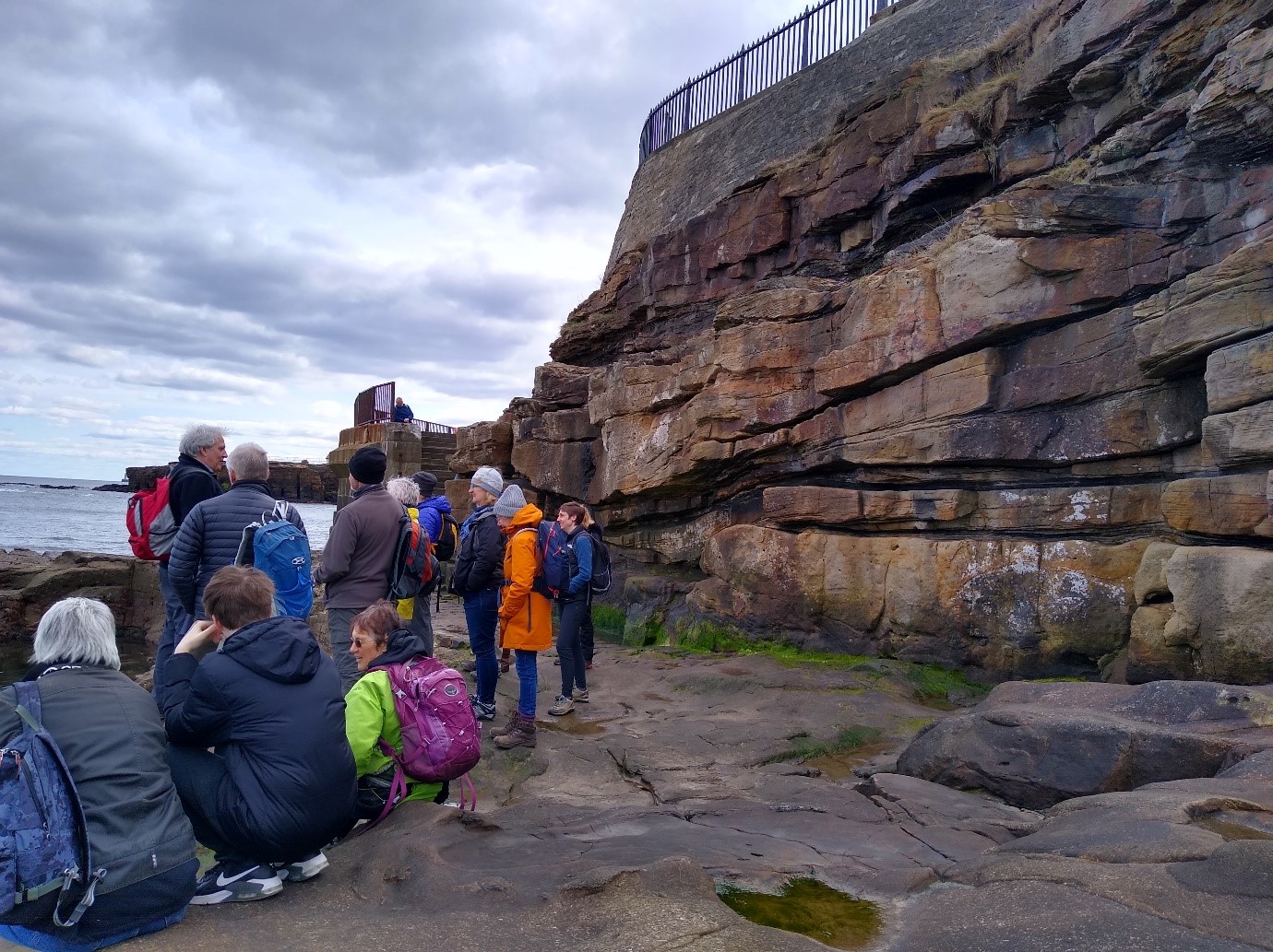
The Table Rocks Sandstone
Next trip is Sunday June 19th to Winlaton, Gateshead, 10am to 4pm. Knowledge of geology isn’t necessary, but those with geological background should still find the trips interesting. Notes, similar to this write up will be provided in advance. See you there!
Pictures by Brenda Turnbull