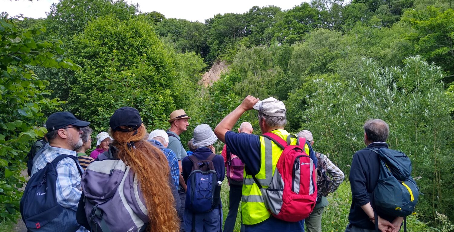
Recently, local naturalists and NHSN’s Earth Sciences Specialist Group set out to explore the geology of Winlaton. Take a look at what they discovered.
We were delighted to welcome new people onto this Earth Science trip! A friendly reminder to please cancel your place if you’ve signed up for a trip and can’t come. All of our trips have a waiting list. We keep numbers small for safety and so everyone can hear and ask questions or take part in the discussions.
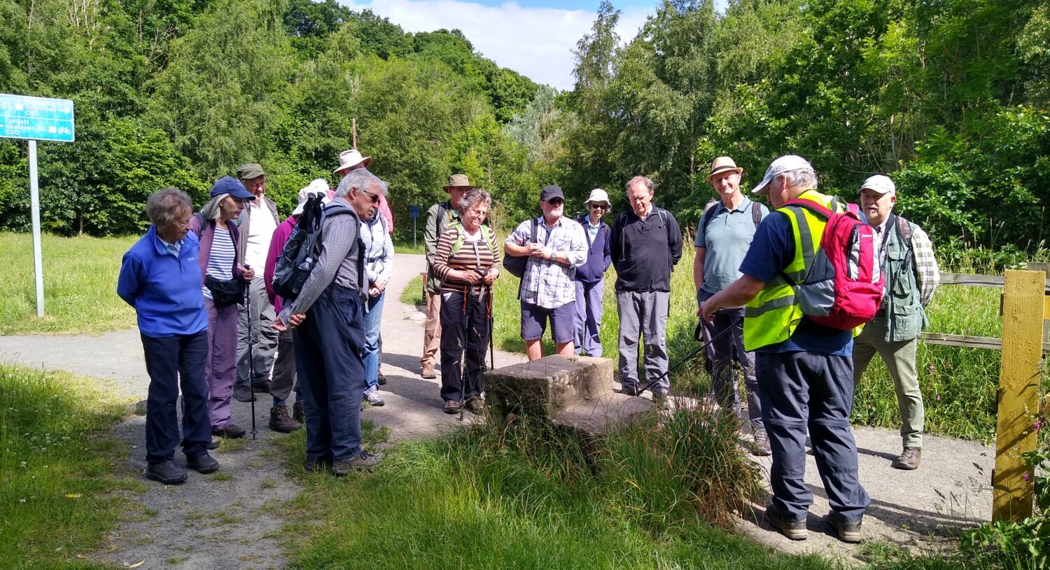
The sandstone mounting block by the Butterfly Bridge shows tool marks from the quarrying process
Despite all the vegetation, there are still some small exposures of bedrock visible in the steep bank and bed of the Clockburn Valley. Sandstone outcrops just beyond the tunnel beneath the Derwent Walk and shales (mudstones) form a waterfall a little further upstream. These localities are difficult to access, however.
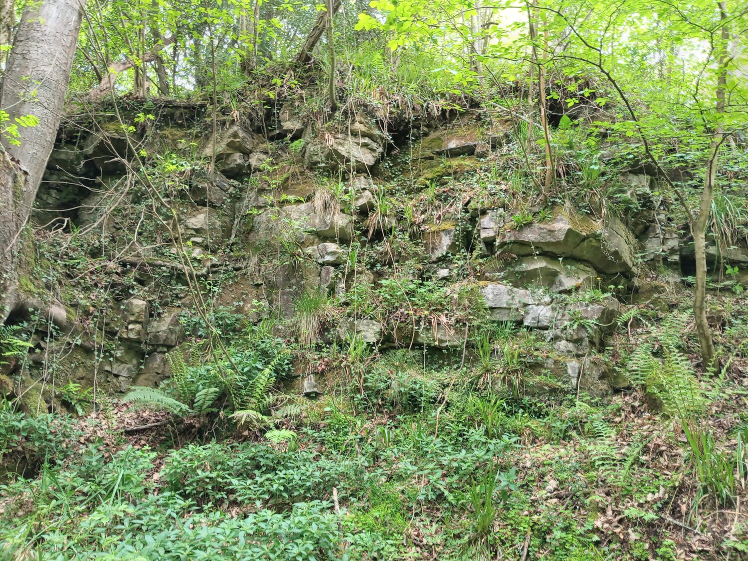
Sandstone exposure in the Clockburn Valley.
Taking the Derwent Walk southwards, our route crosses Lockhaugh Viaduct. The nine-arch structure was completed in 1908 as part of the Consett Branch of the North Eastern Railway.
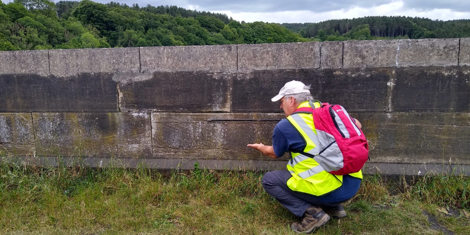
Karl explains how to determine whether a sandstone block on the viaduct is the right way up using cross-bedding.
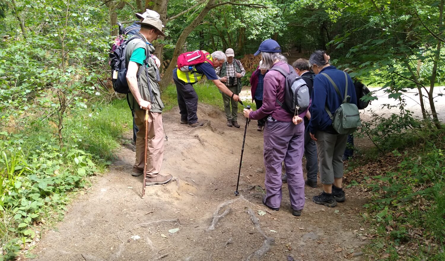
Descending from the path on the south side brings us down to river level. The area inside the meander is called Owlet Hill. Following the riverside path upstream some good exposures can be seen in both banks of the river.
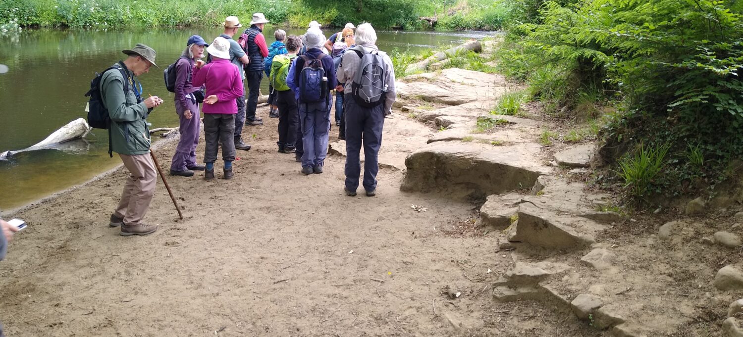
Sandstone exposure with sands and gravels forming a point bar
On the far bank steep sandstone cliffs are overlain by glacial drift, recently exposed by a small landslip. Just below the path, there are small exposures of the sandstone which is seen to be cross-stratified, evidence of the current direction in the braided channels of the Carboniferous delta

Cross or ‘false’ bedded sandstones
Further downstream is Winlaton Scar, where the boulder clay overlying the bedrock is exposed at the top of the bank. Best seen in autumn and winter when the trees are bare, the uppermost layers of the glacial debris can be seen. Borehole data shows the drift to be around 8m deep in this area.
Boulder clay exposed at the top of the bank
We enjoyed a bite to eat and chat at Café Shrub before heading to the woods at Chopwell which hide a variety of geological features.
Close to the car park, a sinuous ridge winds eastward between the trees. The ridge has been interpreted as an esker, composed of sand and gravel 10-15m high, 50m wide at its base and stretches for over 2km. It’s the largest in this area and was formed when a subglacial stream flowed beneath the ice sheet and subsequently became filled with sands and gravels. When the ice finally melted, the sand and gravel remained as a ridge.
Boulder clay revealed at the end of the esker
The esker is truncated at its eastern end by the Pallis Burn, a small tributary of the Derwent. A stretch of the burn roughly midway between the esker and its confluence with the Derwent contains a sequence of tufa barrages forming gentle cascades along the burn. The pools below each barrage are deeper at the upstream side than downstream. Vegetation within the tufa is hard due to the build-up of calcium carbonate. Twigs and other debris become incorporated into the structure. The bed of the burn is covered in a brown, organic film.
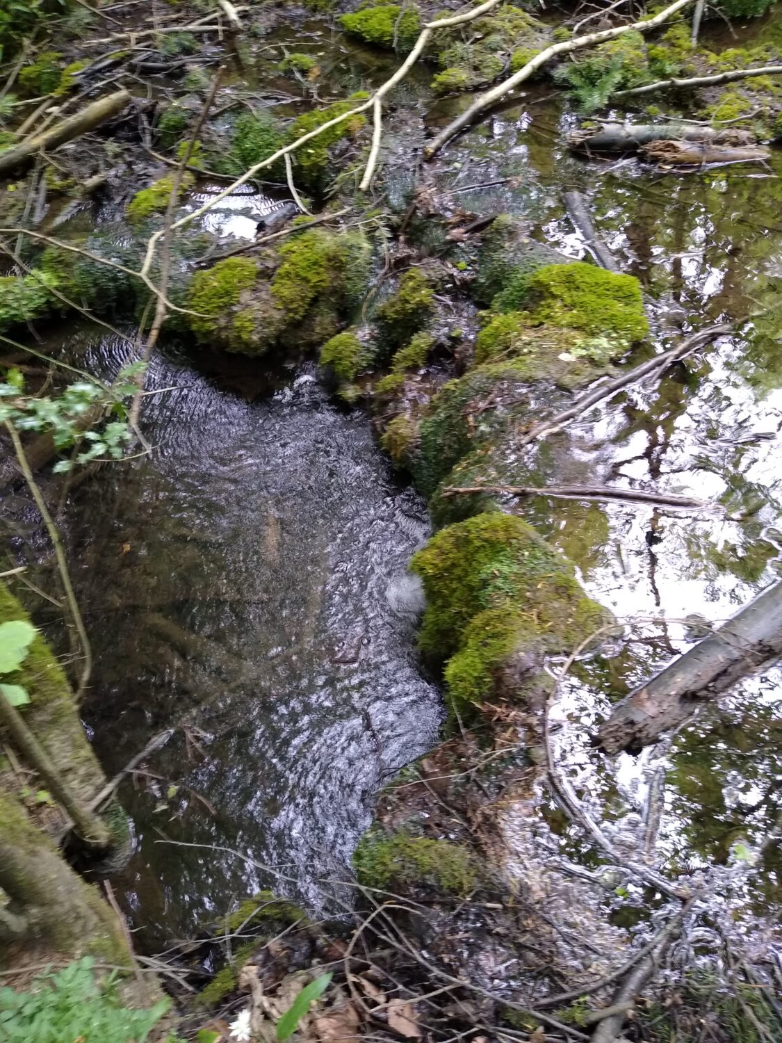
A tufa barrage on the Pallis Burn
The next trip is to Westgate on the Northumberland coast on Saturday 6 August and monthly until October. No knowledge of geology is necessary and trip notes, similar in pitch to this write up will be provided before the event. All are welcome, but please turn up if you book ?
We keep numbers around 20 people for safety and so everyone can hear explanations plus Q&A but are happy to run a repeat trip if there’s a big demand for a trip, so do let James know via James.Common@newcastle.ac.uk
Text & photos – Karl Egeland -Eriksen & Brenda Turnbull, Earth Science Coordinators